Exploring Satellite Imagery with Rapid Editor
The Power of Artificial Intelligence in Rapid Editor
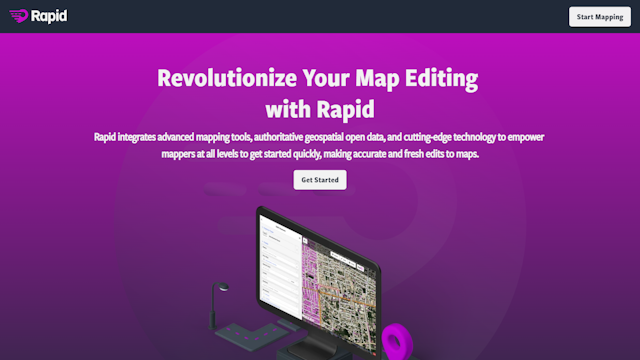
Rapid Editor is a website that harnesses the power of artificial intelligence to transform satellite imagery into predicted features. Its user-friendly map interface allows users to easily browse and explore various layers and overlays. One of its standout features is the magenta layer, which is a map overlay created using advanced AI technology.The AI-powered map overlay provides users with valuable information and insights about a location. Whether you’re a researcher, developer, or just curious, this innovative feature allows you to view and analyze data in a visually compelling way. With the help of AI, Rapid Editor generates accurate and detailed predictions about various features based on satellite imagery.
Enhancing Productivity with Rapid Editor
Rapid Editor offers a seamless browsing experience and a range of tools and functionalities to enhance productivity. Users can easily zoom in and out, switch between different map views, and customize their preferences to suit their specific needs. The platform also allows users to save and share their customized maps, making collaboration and communication easier than ever.
Constantly Evolving for Accuracy and Reliability
Rapid Editor is committed to innovation and quality. It constantly evolves and improves its AI algorithms to ensure the accuracy and reliability of its predictions. This dedication sets Rapid Editor apart from other map tools and makes it a valuable resource for various industries such as urban planning, environmental monitoring, and geographic research.
Real-World Use Cases for Rapid Editor
With its combination of cutting-edge AI technology, user-friendly interface, and wide range of features, Rapid Editor is the go-to platform for anyone who wants to explore and analyze satellite imagery in a new and insightful way. It can be used in real-world scenarios such as urban planning to predict future development and identify potential environmental impacts. It can also be used in geographic research to analyze changes in land use and vegetation. Overall, Rapid Editor offers a powerful and innovative solution for anyone looking to explore satellite imagery.


